 |
|
|||||||||||
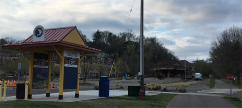
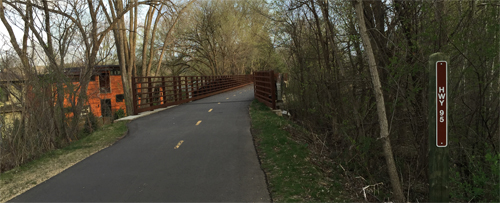
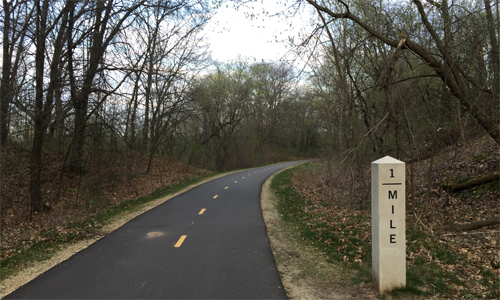
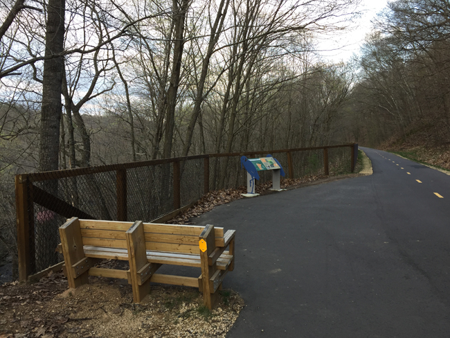
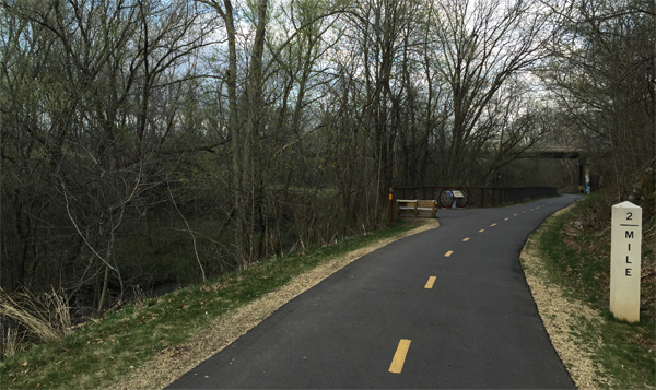
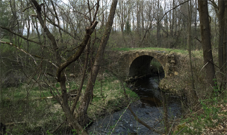
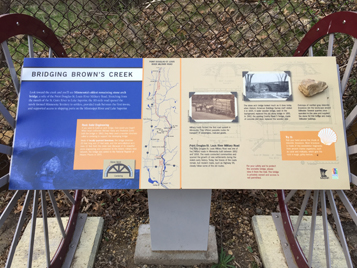
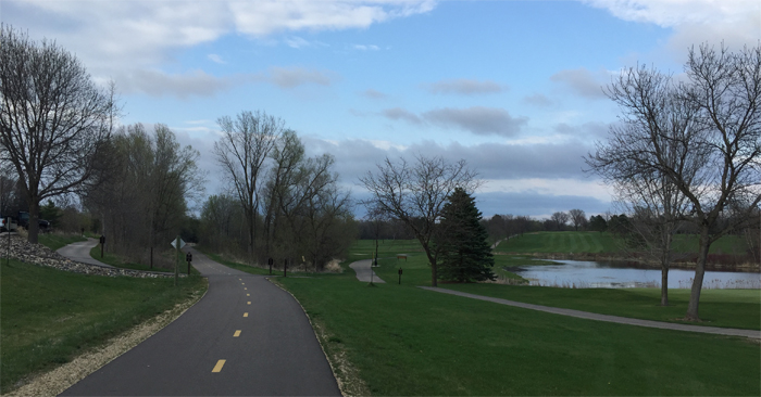
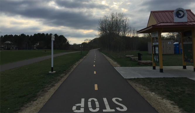
Browns Creek State TrailDescriptionThe Brown's Creek State Trail is a 5.9-mile asphalt trail built in 2014. The trail follows the former railway corridor of the Minnesota Zephyr. The Zephyr was a dinner trail that operated out of Stillwater, Minnesota. Before the Minnesota Zephyr ran on this track, the Northern Pacific used the right away until 1982. The trail on its western end connects to the Gateway State Trail at Duluth Junction near Lake Masterman. There is a parking lot here along Minnesota Highway 96. On the eastern end, the trail terminates in Stillwater right along the St. Croix National Scenic River. Stillwater is an historic logging town that now attracts many visitors and tourists to its restaurants and antique stores. There is parking available here too. Since the trail follows an old railroad, the grade is mostly level with a few minor undulations. The trail faithfully follows Brown's Creek for about four of it's nearly six miles. The creek flows through deciduous forest and meanders along the edge of a couple of golf courses. Other sections of the creek flow through deep ravines giving trail users some pretty views of the creek from above. Brown's Creek is a designated trout stream managed by the Minnesota Department of Natural Resources. The last mile of the trail near Stillwater is along the St. Croix River. Sections of the trail (between the Gateway State Trail intersection and Lofton Avenue) are paralleled harmoniously by a separate horseback riding trail. Trail ConnectionsGateway State Trail: Western terminus of trail at Duluth Junction near Lake Masterman along Minnesota Highway 96. Trail Access/ParkingStillwater: Along Minnesota Highway 95 on the north end of downtown Stillwater. Large parking area with kiosks describing the trail. This location is known as Stillwater Connection. Brown's Creek Park: This parking lot is near the mid-point of the trail and can be access from Neal Avenue North. On south side of the trail. This access point is called Coldwater Stop. Duluth Junction: This parking lot is 1/4 mile north of the western end of the Brown's Creek Trail along the Gateway State Trail. Parking lot is under the Gateway State Trail bridge that crosses Minnesota Highway 96 (Dellwood Road). Restrooms/Water AvailableDellwood Avenue (Hwy 96) next to Lake Masterman (portable restroom) - along Gateway State Trail just north of junction TRAIL VIDEO The Brown's Creek State Trail - Mile by MileMile 0.0: Stillwater Connection. Rest Stop. Water Available. Parking Lot and Trail Access. Stillwater, Minnesota: There is a large parking lot here. There is also a water fountain. The kiosk structure shows a map of the trail and describes some of the trails history. Downtown Stillwater is just south of this location and is accessible by a local trail and sidewalks. It is also possible to access the river just south of this location and from many points in Downtown. Mile 0.0: Stillwater Marina: Along the St. Croix River side of the trail. Mile 0.0: Railroad Mileage Marker 0: This is the start of the 5.8 mile long Brown's Creek Trail. Mile 0.1: Stillwater Train Depot: Visible in the photo above on the left. Mile 0.3: Entrance to Aiple Estate property: This is a large private property with 3,500 feet of frontage along the St. Croix River. [As of 2017 there was discussion about the State of Minnesota acquiring this property and converting it to public parkland.] Mile 0.6: Historical Marker: This marker is across busy Minnesota Highway 95 from the Brown's Creek Trail. Mile 0.8: Bridge crossing over Minnesota Highway 95 (St. Croix Trail): Trail turns west and leaves the St. Croix River after crossing this bridge. Mile 1.0: Railroad Mileage Marker 1 Mile 1.4: Brown's Creek Overlook: A rest area and kiosk. The view from here is of Brown's Creek running through a deep ravine. Mile 1.7: Stillwater Country Club Golf Course Mile 1.9: Stonebridge Trail North bridge underpass Mile 2.0: Military Road Bridge and Information Display. Rest Stop. Railroad Mileage Marker 2: View the full size image below to read the history of this structure. It was built in the mid-1800's.
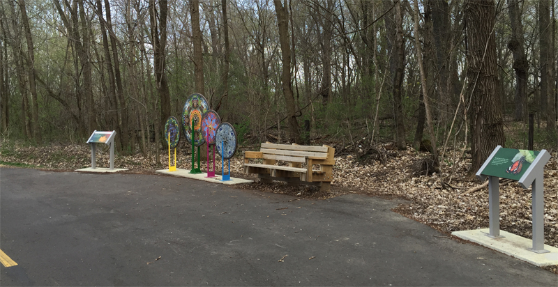
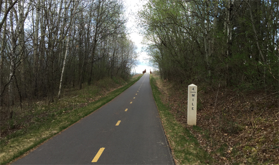
Mile 2.1: Brown's Creek Overlook Mile 2.2: Brown's Creek Bridge Crossing Mile 2.4: Oak Glen Golf Course: The is a soda machine up at the golf course club house (as of 2020). Mile 2.5: McKusick Road North Crossing Mile 2.7: Brown's Creek Crossing Mile 2.8: Neal Avenue Crossing Mile 2.9: Coldwater Stop: Parking Lot/Trail Access, Information Kiosk, Brown's Creek Park, Restroom: The kiosk provides more information about the trail. There is a restroom and ample parking here. Mile 3.0: Railroad Mileage Marker 3 Mile 3.2: Local park trail crossing Mile 3.3: Rest Stop. Bike Wheel Sculpture. Bicycle Tune-Up Station: No water at this rest stop. The image below doesn't show it, but a bicycle tune up station was recently installed at this rest stop. Mile 3.5: Macey Way Crossing Mile 3.7: Maryland Avenue North Crossing Mile 3.9: Manning Avenue Bridge Crossing Mile 4.0: Railroad Mileage Marker 4: In the distance is the Manning Avenue bridge. Mile 4.2: Lofton Avenue North Crossing Mile 4.4: 88th Street North Crossing Mile 4.9: Stillwater Oaks Golf Course Mile 5.0: Railroad Mileage Marker 5 Mile 5.2: Rest Stop. Overlook of wetlands and Minnesota Highway 96 (Dellwood Road): Besides the highway, there are several wetlands and a lake visible from this location. Mile 5.6: Kimbro Avenue North Crossing Mile 5.8: Duluth Junction. Intersection with Gateway State Trail. Information Kiosk. Rest Stop. Railroad Mileage Marker 5.8. Restroom and parking 1/4 north on Gateway State Trail: The parking area and restroom can be reached by traveling north on the Gateway State Trail about 1/4 mile. This parking area is right on Lake Masterman. This junction is about 4 1/2 miles from the north end of the Gateway State Trail which is at Pine Point Regional Park. The Gateway State Trail is about 18 miles long and ends near the State Capitol in St. Paul, Minnesota. Future Trail Development PlansNothing scheduled. |
||||||||||||
