MAP LEGEND:  
Section Length: 3.0 miles Trail Authority: North Country National Scenic Trail Association and the Superior Hiking Trail Association
Trail Surface: Natural Campsites along this section: 0
Trail Start/End Points: Hartley Nature Center TH. Martin Road TH. Towns/Cities along this Trail section: None
Trail Type: Long Distance Hiking Trail Trail Related Websites: Superior Hiking Trail Association and North Country Trail Association
Trail Uses: Hiking Section Last Visited: 08/24/2019

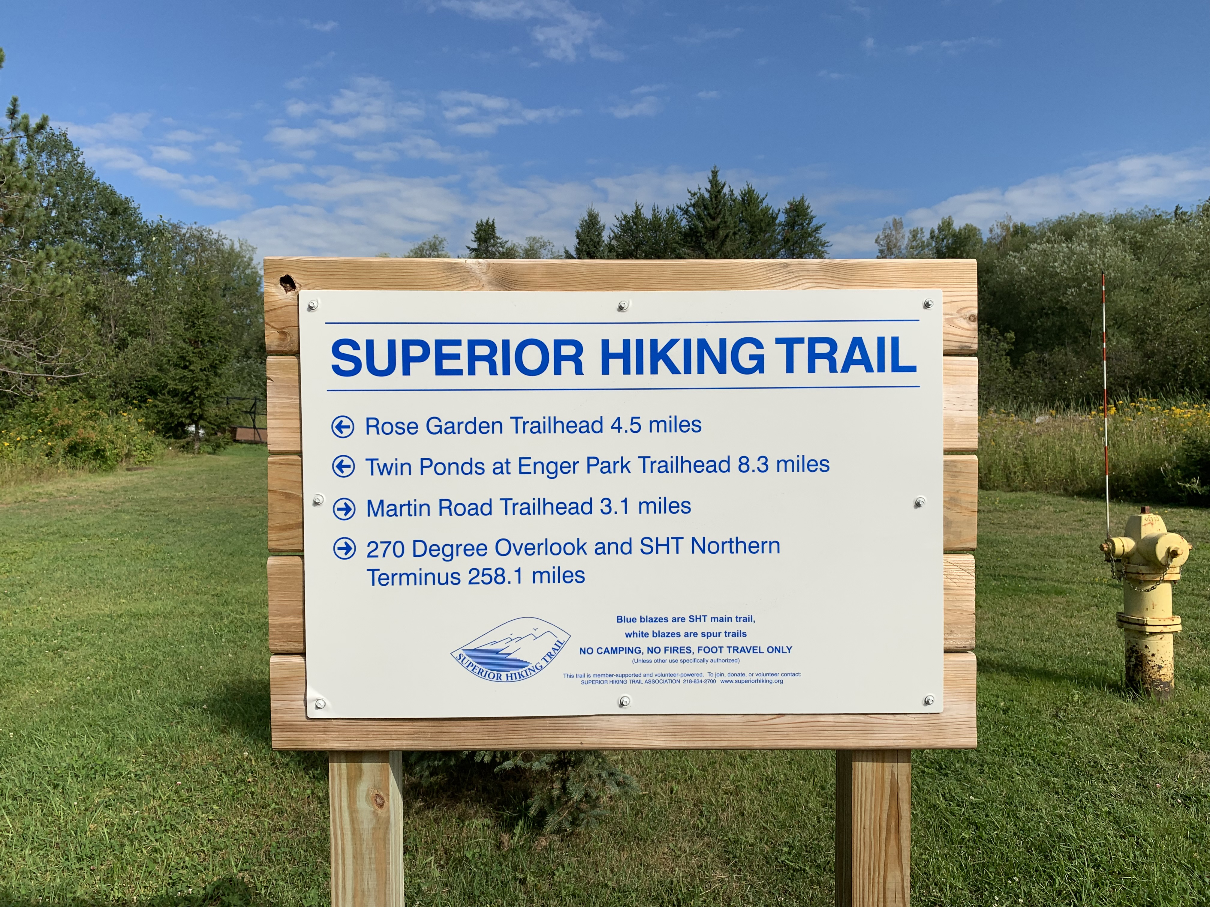
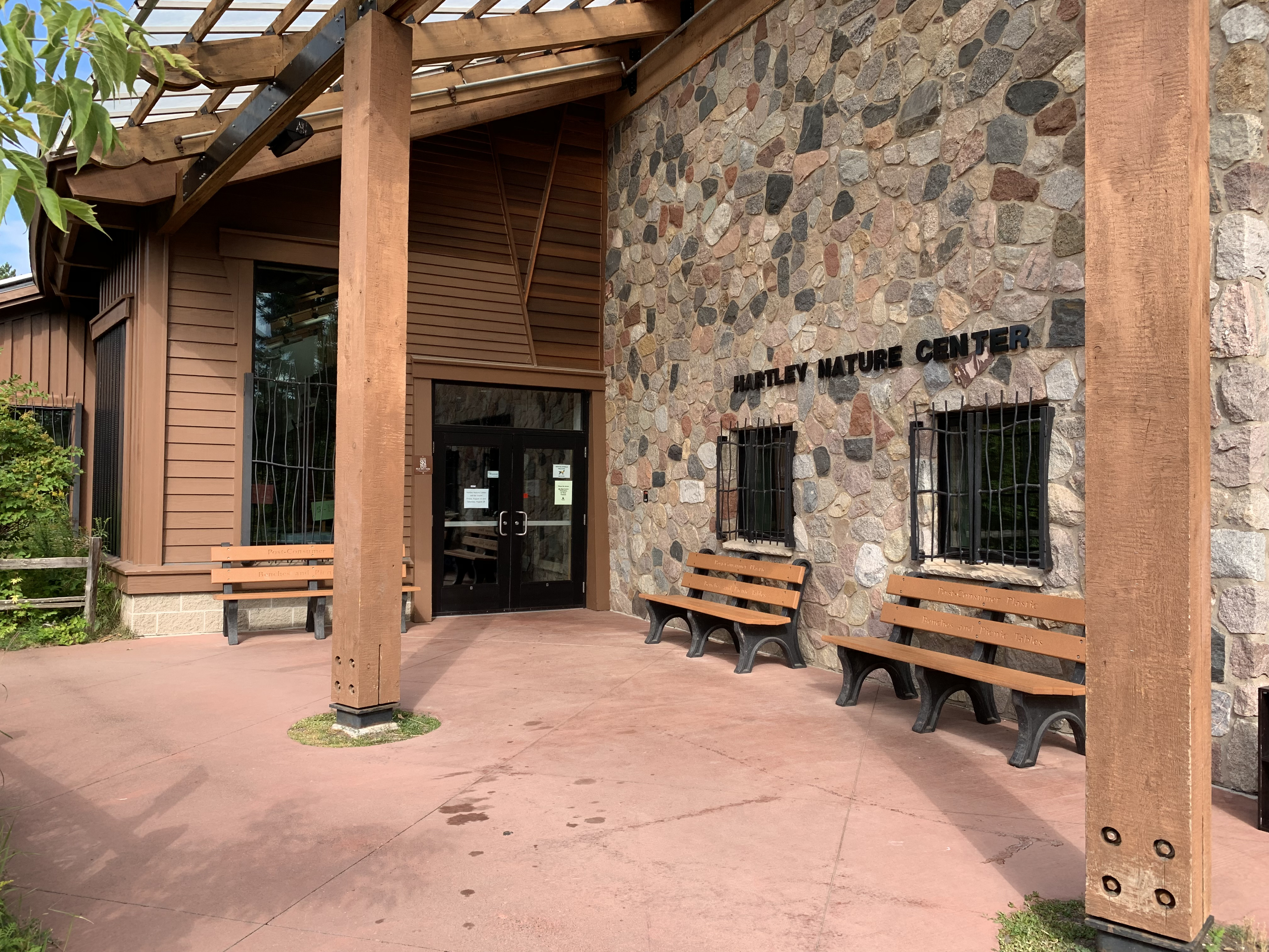
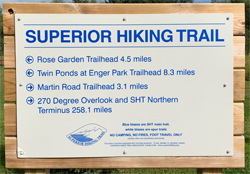
Superior Hiking Trail - Hartley Nature Center TH to Martin Road TH

Description

About the first 1/3rd of this section is travel along roads and sidewalks. After that the trail meanders through woods and along the bank of Amity Creek. This is the last section as you head northbound along the SHT that feels like your still near Duluth. Once you reach Martin Road, you've pretty much left the city.


Trail Connections

Superior Hiking Trail - Rose Garden TH to Hartley Nature Center TH (southbound)
Superior Hiking Trail - Martin Road TH to Lismore Road (northbound)


Trail Access/Parking

Hartley Nature Center
Martin Road Trailhead


Restrooms/Water Available

Hartley Nature Center has restrooms and water.


Campsites in this Section: Zero


Scenic Overlook/Points of Interest in this Section: One

Hawk Ridge Spur


Realtime Section Video (hiked south to north)


This video shows the section of the Superior Hiking Trail from the Castle Danger Trailhead to Gooseberry Falls State Park near the Minnesota Highway 61 bridge.


This Section - Mile by Mile

Click on the photos below to see the full resolution image - Use your browsers back button to close photo and return to this page.

Mile 0.0 (section) Mile 47.2 (SHT): Hartley Nature Center Trailhead mileage sign.

Trail mileage sign at Hartley Nature Center Trailhead.


Entrance to Hartley Nature Center interpretive building. There is restroom and water in here.

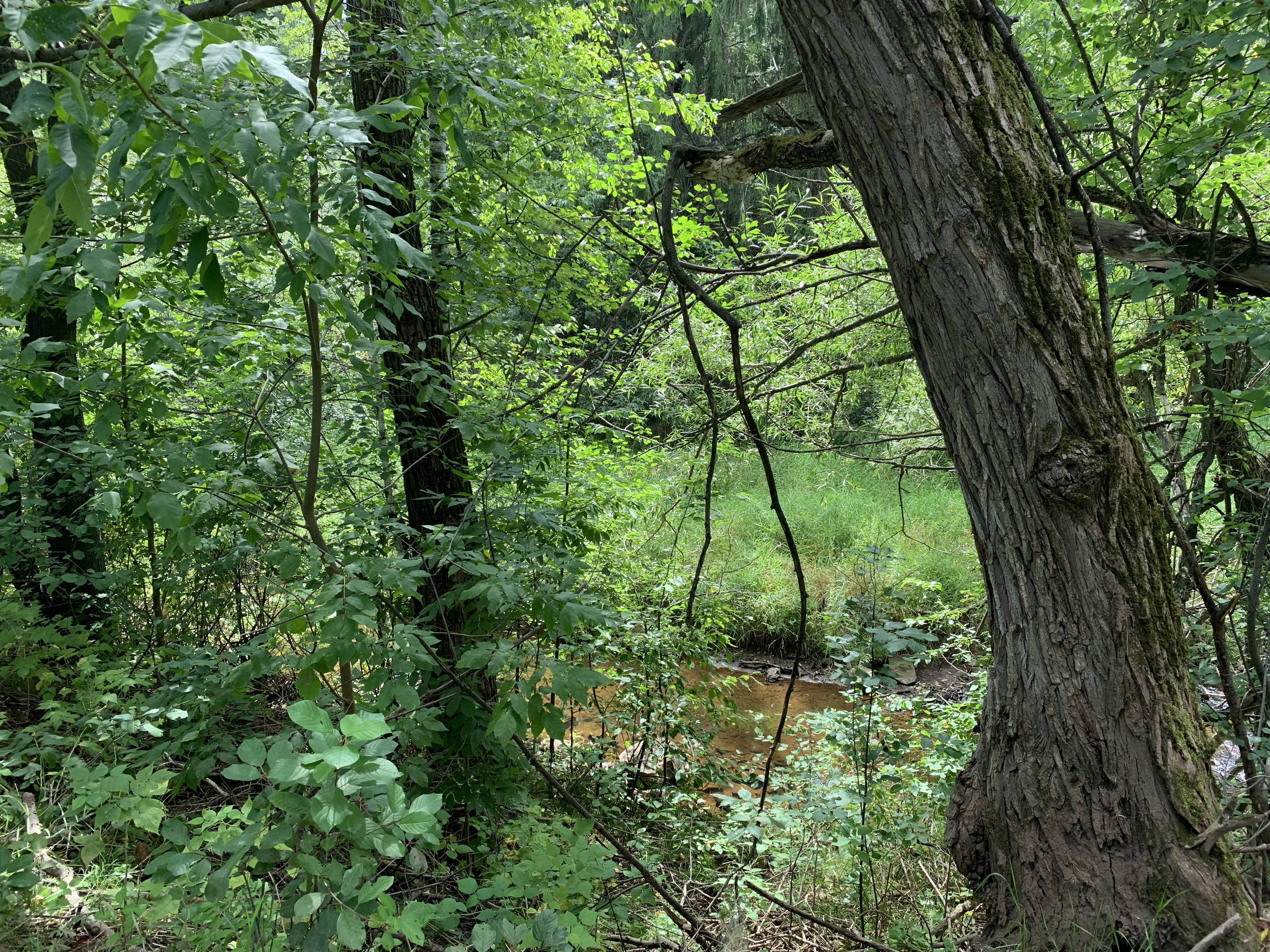
Mile 0.1 (section) Mile 47.3 (SHT): Tischer Creek.

Some glimpses of Tischer Creek can be had through the woods near Hartley Nature Center.


White-tailed deer near Tischer Creek.

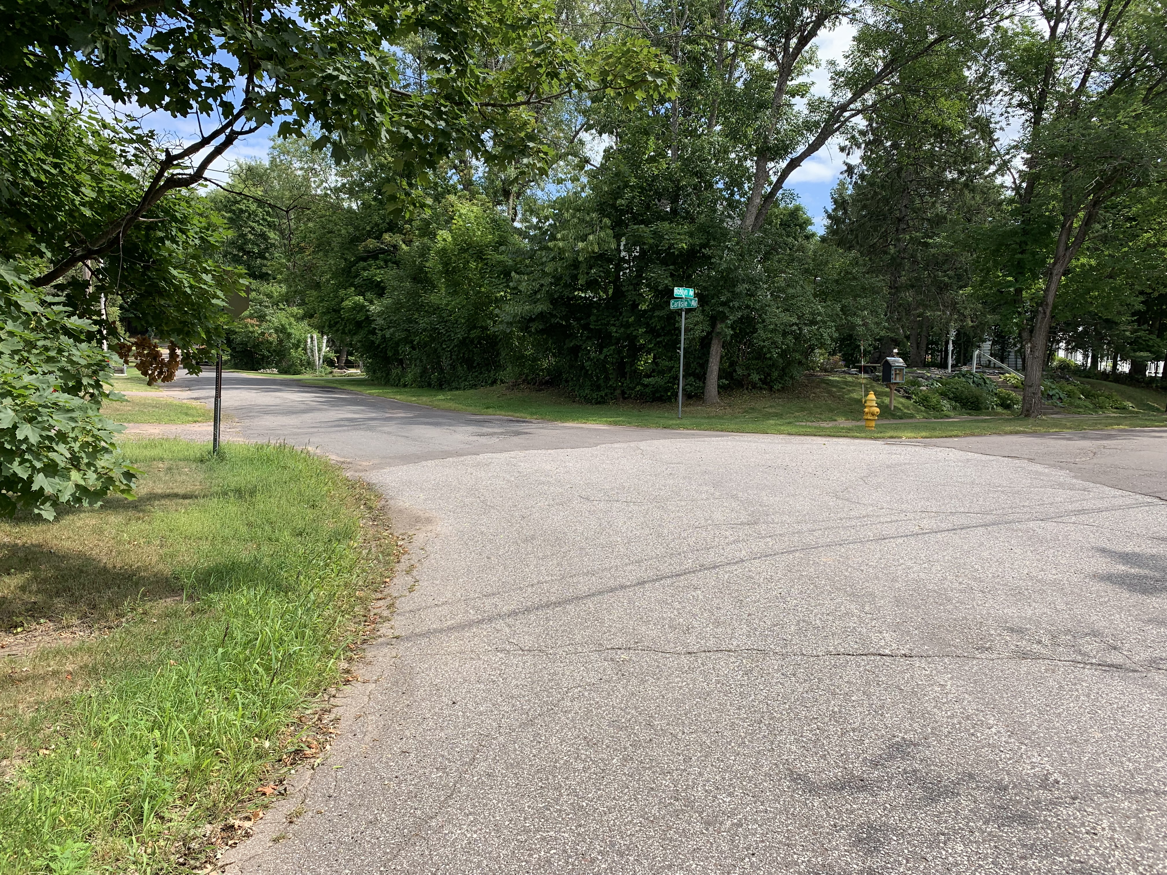
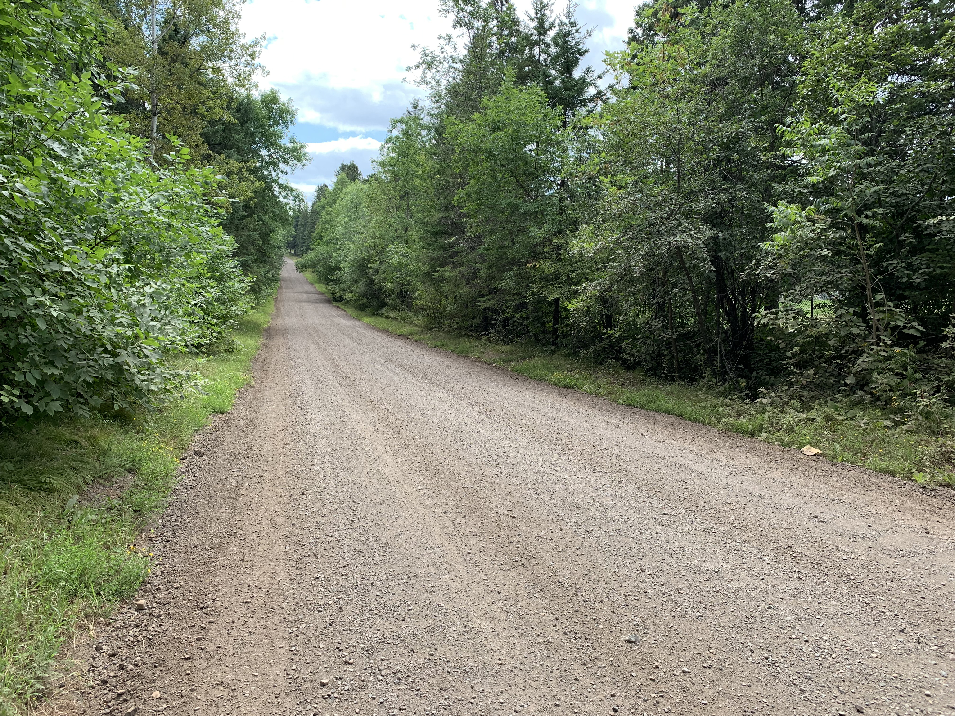
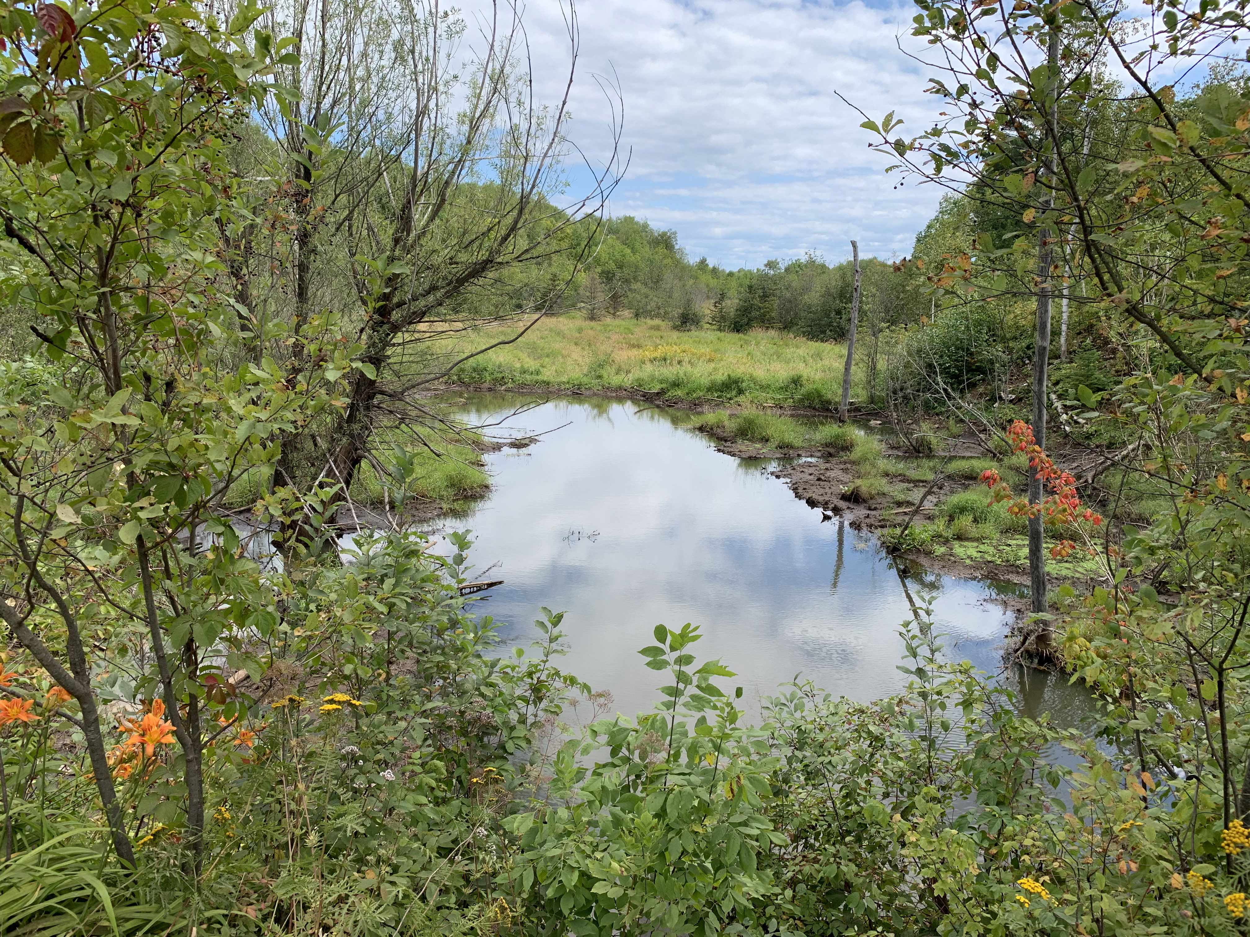
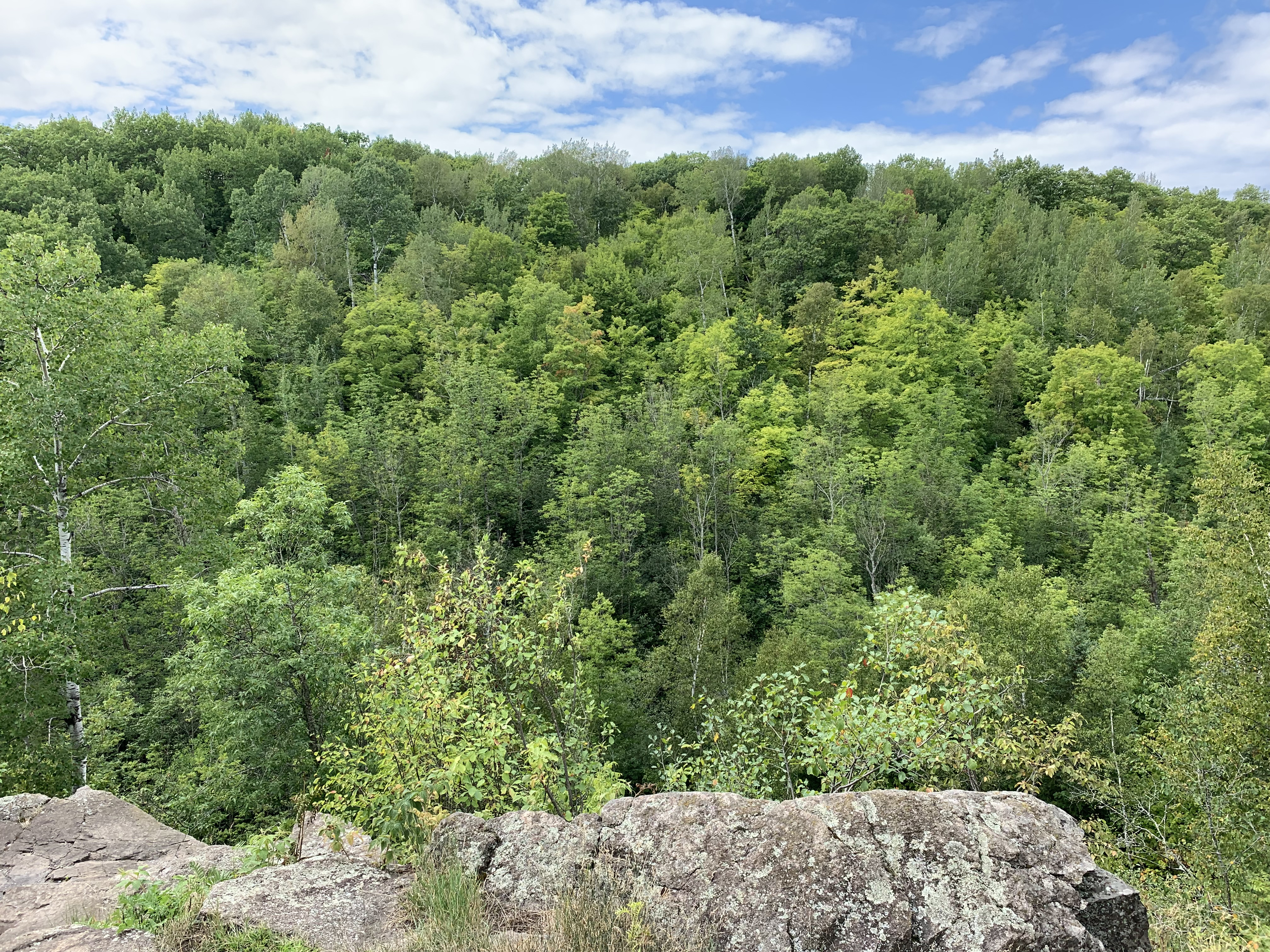
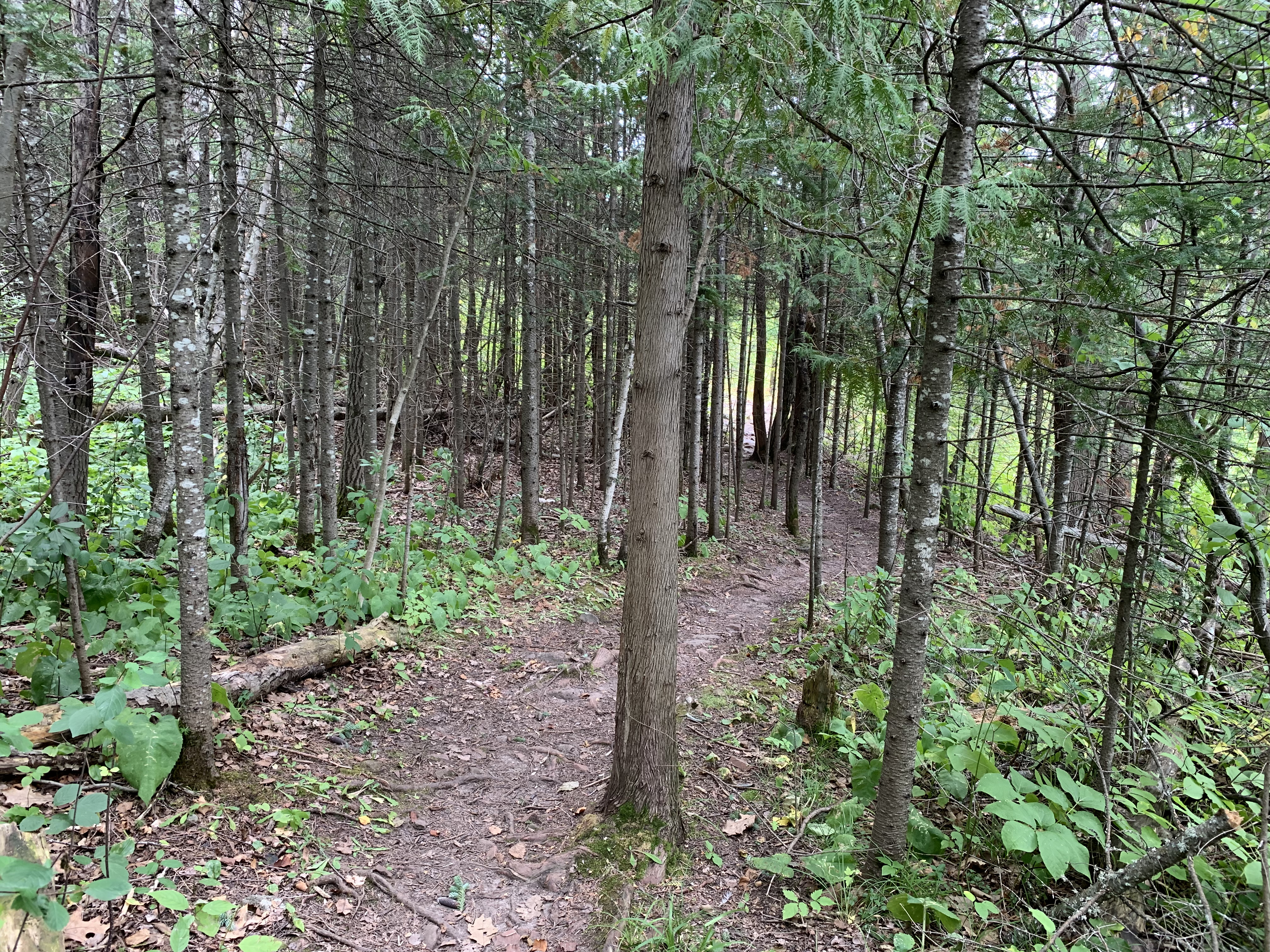
Mile 0.5 (section) Mile 47.7 (SHT): Suburban Duluth.

Intersection of Carlisle Avenue and Roslyn Avenue.

Mile 1.2 (section) Mile 48.4 (SHT): Forest Hill Cemetery.

View of Forest Hill Cemetery from Vermillion Road.

Mile 1.3 (section) Mile 48.5 (SHT): Vermillion Road.

Looking down the gravel road toward the north.

Mile 1.6 (section) Mile 48.8 (SHT): Amity Creek Crossing.

Amity Creek. The SHT cuts into the woods to the left just after crossing this creek. To the right, across the road is another trail. This is the Hawk Ridge Spur of the SHT.

Mile 1.8 (section) Mile 49.0 (SHT): View of the Amity Creek Valley.

Forested bluffs rise above the valley through which Amity Creek flows.

Mile 2.1 (section) Mile 49.3 (SHT): Trail passes through grove of young pines.

Walking through the woods near Amity Creek.

Mile 3.0 (section) Mile 50.2 (SHT): Martin Road Trailhead.

Arrival at Martin Road Trailhead and parking lot.

Continue hiking next section of the SHT: Martin Road TH to Lismore Road


Disclaimer Privacy Policy Contact Us About Us
- www.MidwestTrails.com - All Rights Reserved. All images, videos and text property of MidwestTrails.com - No reuse without permission.