 |
|
|||||||||||||
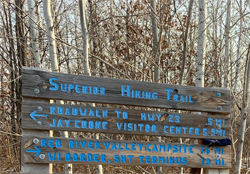
Superior Hiking Trail - Gooseberry Falls State Park to Split Rock River WaysideDescriptionThis section is currently a reroute (as of 2021). The section now mostly follows the Gitchi-Gami State Trail from Gooseberry Falls State Park to the Split Rock River Wayside Trailhead. Therefore, it is a paved trail. For a state trail, it is gets relatively light traffic. It runs close to Minnesota Highway 61, so there is substantial traffic noise in some places. However, the section does provide some awesome views of Lake Superior. Instead of following the Gitchi-Gami State Trail for the entire distance, it is possible to cross Minnesota Highway 61 at Blueberry Road and follow that road up to where the trail resumes. This would be the way to go if you need to camp, as the Blueberry Hill Campsite is located just east of Blueberry Hill Road once you resume travel on the main SHT path. Iona's Beach is a sand beach (rare on Lake Superior) that starts just north of the Iona's Beach Scientific and Natural Area. Trail ConnectionsSuperior Hiking Trail - Castle Danger Road TH to Gooseberry Falls State Park Trail Access/Parking Gooseberry Falls State Park Restrooms/Water AvailableGooseberry Falls State Park water, snacks, restrooms. There is a highway rest area also located here. Campsites in this Section: OneBlueberry Hill Campsite Scenic Overlook Spur Trails in this Section: OneBreadloaf Ridge Overlook: View of Lake Superior. Realtime Section Video (hiked south to north)
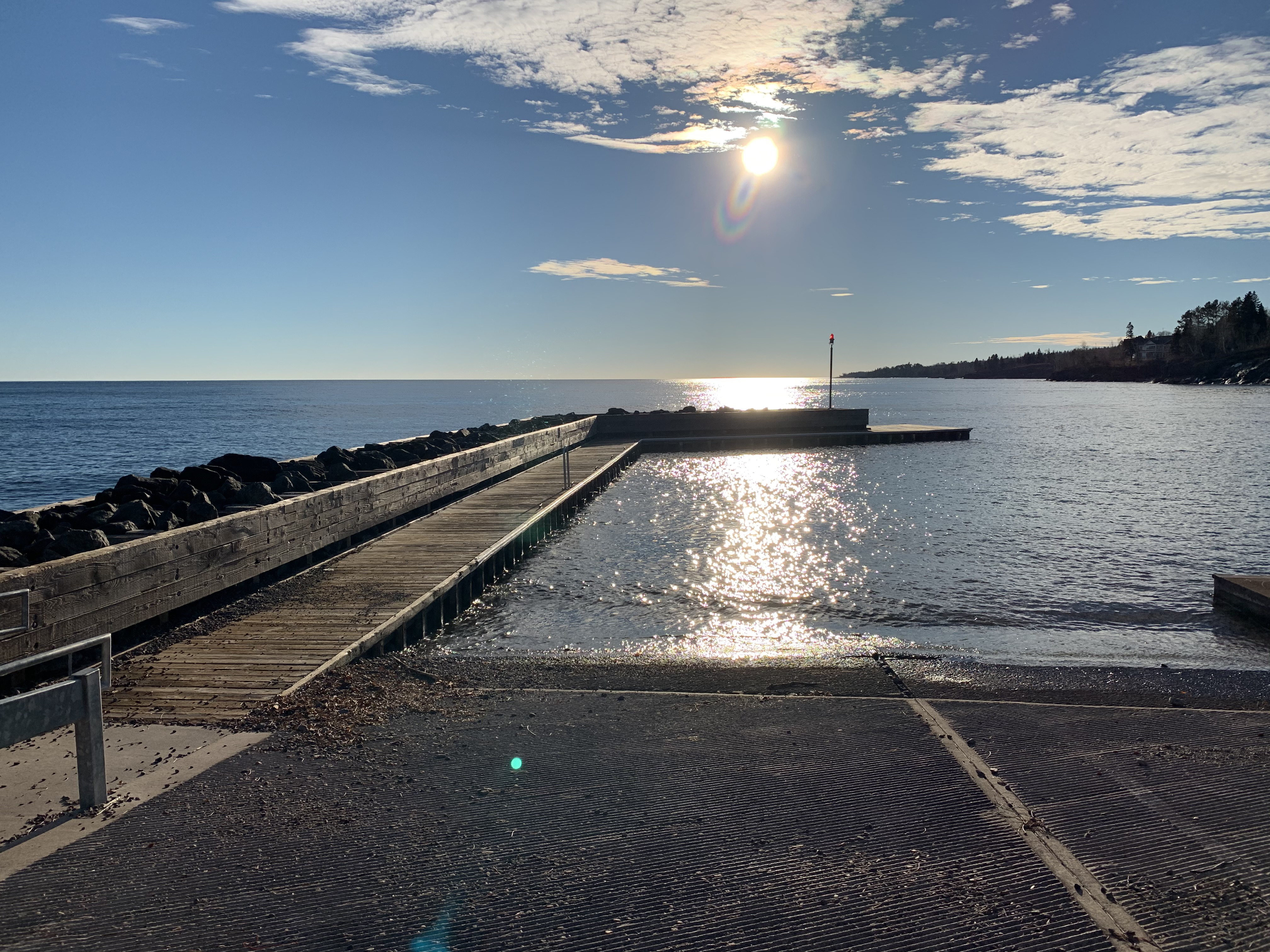
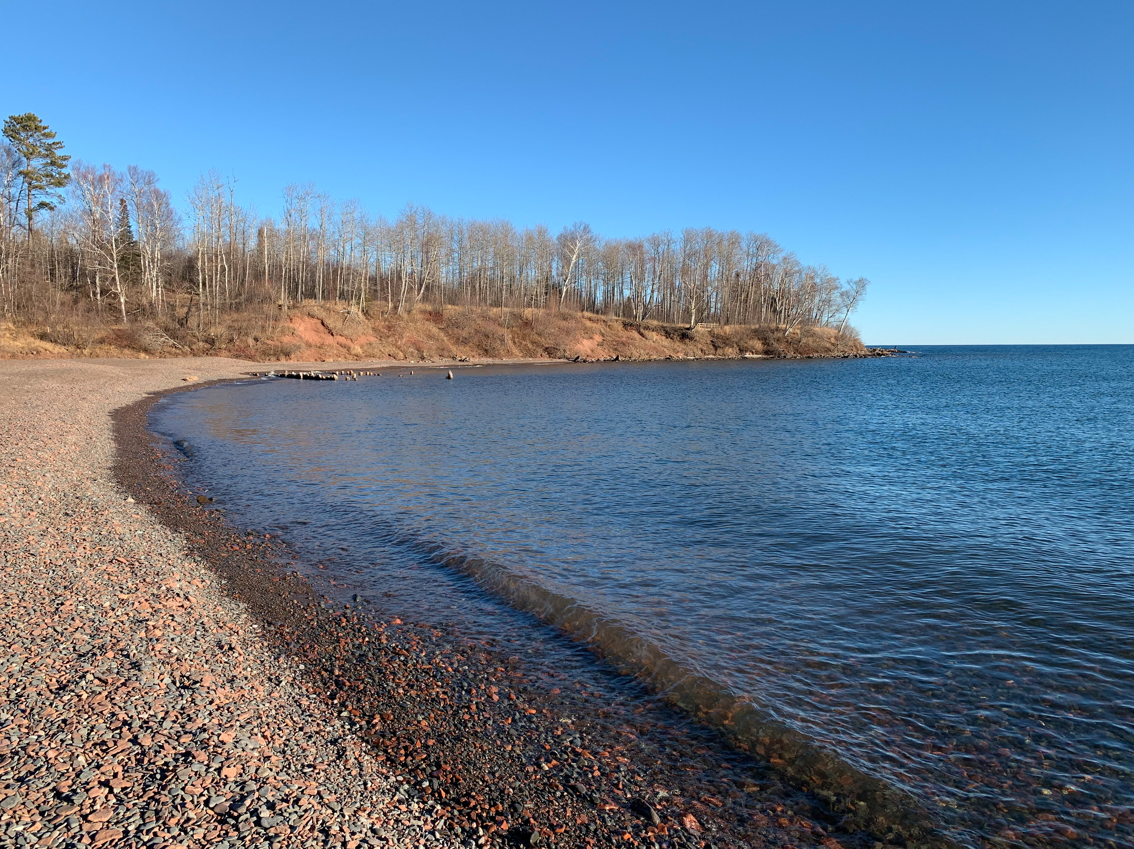
This Section - Mile by MileClick on the photos below to see the full resolution image - Use your browsers back button to close photo and return to this page. Mile 0.0 (section) Mile 111.8 (SHT): Frozen Gooseberry Falls. Mile 0.4 (section) Mile 112.2 (SHT): Nelsens Creek. Mile 0.7 (section) Mile 112.5 (SHT): View of Lake Superior. Mile 1.6 (section) Mile 113.4 (SHT): Gitchi-Gami State Trail. Mile 1.7 (section) Mile 113.5 (SHT): Long Curve. Mile 1.9 (section) Mile 113.7 (SHT): Thompson Beach. Mile 2.7 (section) Mile 114.5 (SHT): Blueberry Hill Road. Mile 2.8 (section) Mile 114.6 (SHT): Iona's Beach Scientific and Natural Area. Mile 3.3 (section) Mile 115.1 (SHT): View of Lake Superior. Mile 4.2 (section) Mile 116.0 (SHT): Split Rock River Wayside Beach.
Mile 4.3 (section) Mile 116.1 (SHT): Mileage Sign at End of Section. Continue hiking next section of the SHT: Split Rock River Loop |
||||||||||||||