MAP LEGEND:  
Section Length: 8.8 miles Trail Authority: North Country National Scenic Trail Association and the Superior Hiking Trail Association
Trail Surface: Natural Campsites along this section: 5
Trail Start/End Points: Castle Danger Trailhead. Gooseberry Falls State Park. Towns/Cities along this Trail section: None
Trail Type: Long Distance Hiking Trail Trail Related Websites: Superior Hiking Trail Association and North Country Trail Association
Trail Uses: Hiking Section Last Visited: 05/03/2020

Superior Hiking Trail - Castle Danger Trailhead to Gooseberry Falls State Park

Description

Scenic, with several nice overlooks near the Castle Danger end of the trail. The trail stretches for quite a ways right along the banks of the Gooseberry River, providing beautiful views.


Trail Connections

Superior Hiking Trail - Gooseberry Falls State Park to Split Rock River Wayside TH (northbound)
Lake County Road 301 TH to Castle Danger TH (southbound)


Trail Access/Parking

Castle Danger Trailhead
Gooseberry Falls State Park (there is an official DOT rest area here also)


Restrooms/Water Available

Gooseberry Falls State Park water, snacks, restrooms. There is a highway rest area also located here.
Filtered water from the Gooseberry River. Filtered water from small stream at the Crow Valley Campsite too.


Campsites in this Section: Five

Crow Valley Campsite
East Gooseberry Campsite
Gooseberry Campsite
Middle Gooseberry Campsite
West Gooseberry Campsite


Scenic Overlook Spur Trails in this Section: One

Crow Valley Overlook: View of surrounding forest in the Crow Valley
Fifth Falls: Waterfall along the Gooseberry River
Mike's Rock: Expansive views of north shore and Lake Superior
Wolf Rock Overlook: Views of Crow Valley and distant Lake Superior


Realtime Section Video (hiked south to north)
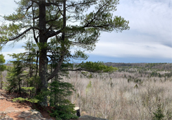


This video shows the section of the Superior Hiking Trail from the Castle Danger Trailhead to Gooseberry Falls State Park near the Minnesota Highway 61 bridge.


This Section - Mile by Mile

Click on the photos below to see the full resolution image - Use your browsers back button to close photo and return to this page.

Mile 0.0 (section) Mile 103.2 (SHT): Castle Danger Trailhead.

Trail starts to the right of the sign and eventually makes its way to Gooseberry Falls State Park.

Mile 0.5 (section) Mile 103.7 (SHT): Wolf Rock Overlook.

View of the Crow Valley from Wolf Rock overlook.


Wolf's Rock overlook. Lake Superior visible in the distance.

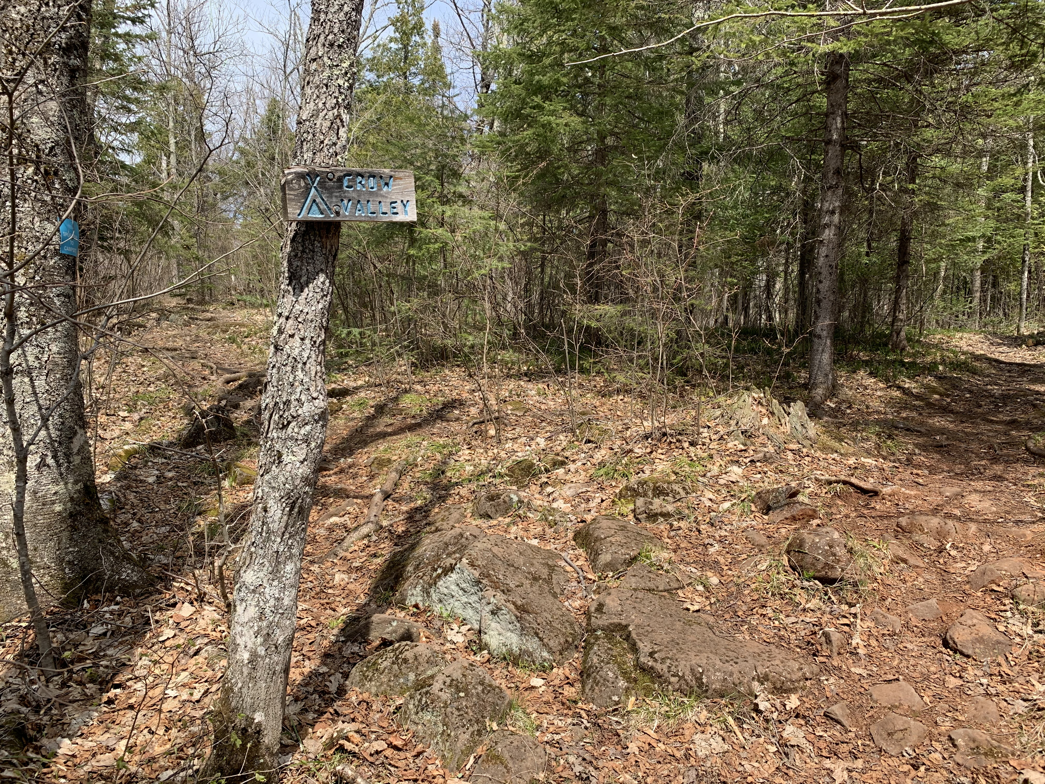
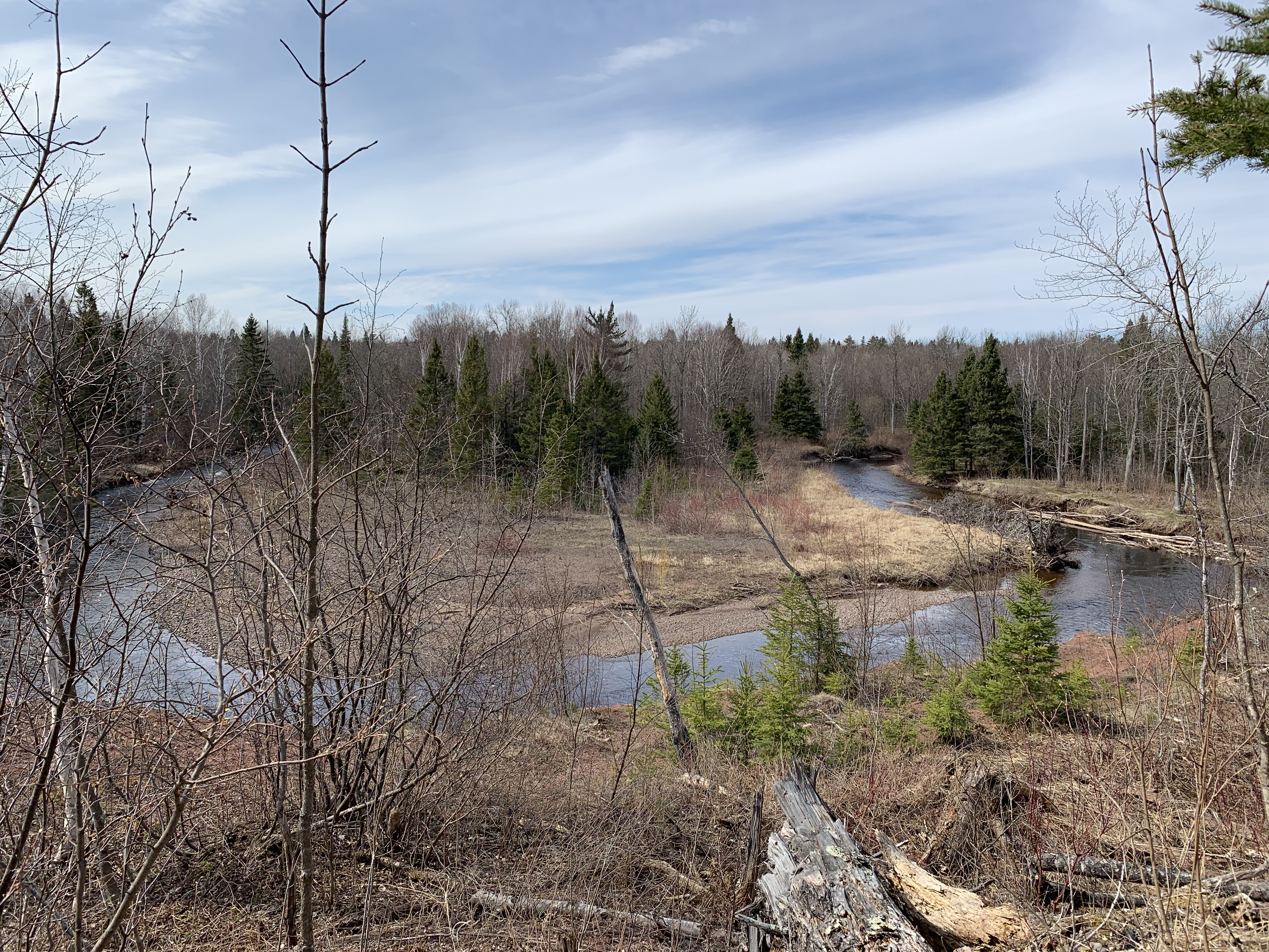
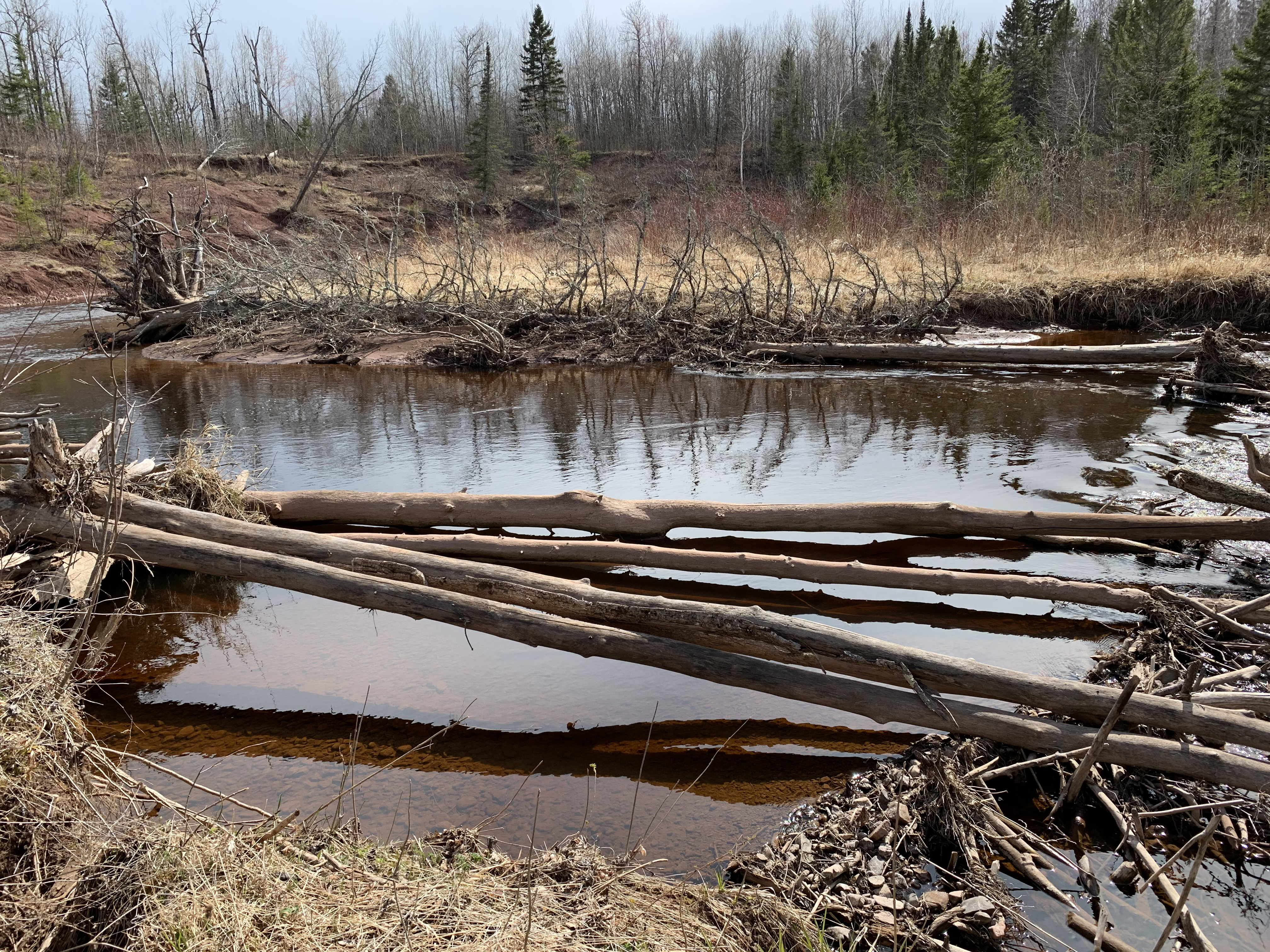
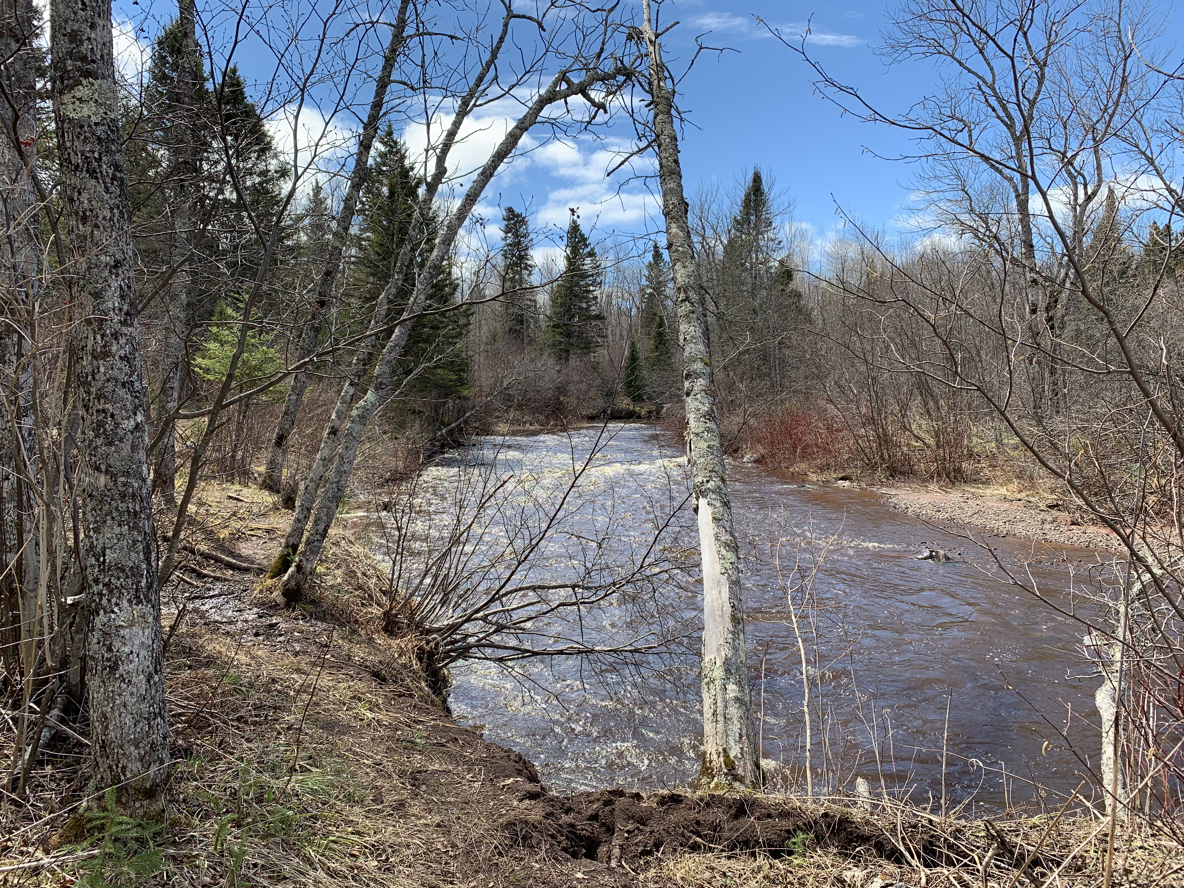
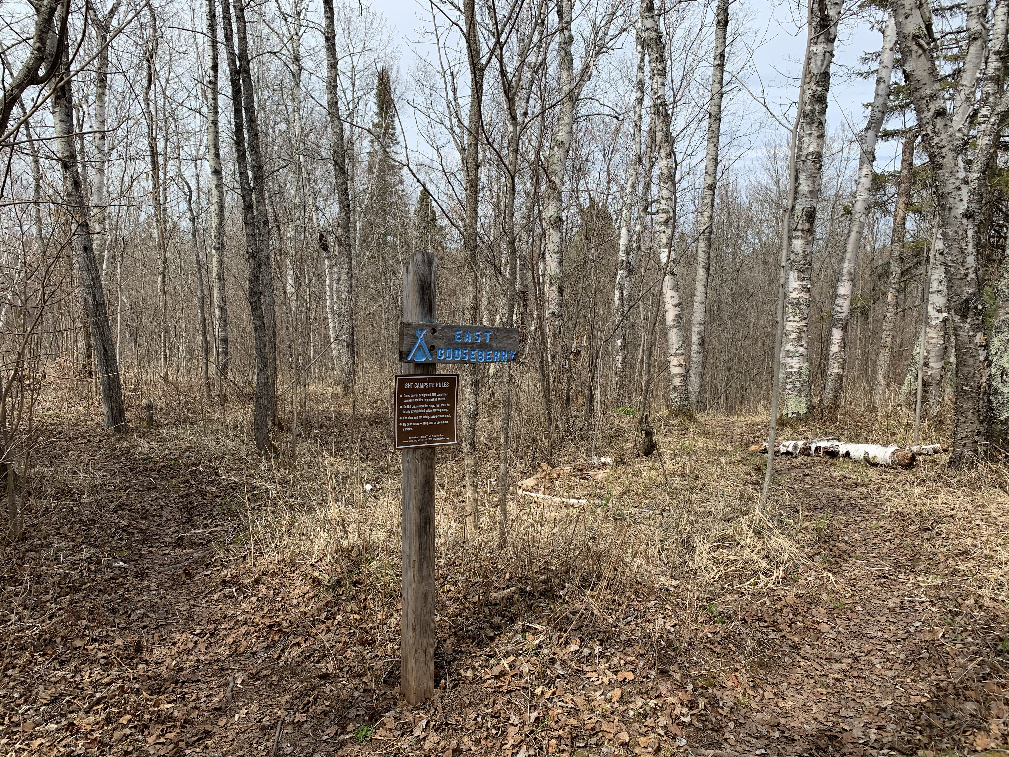
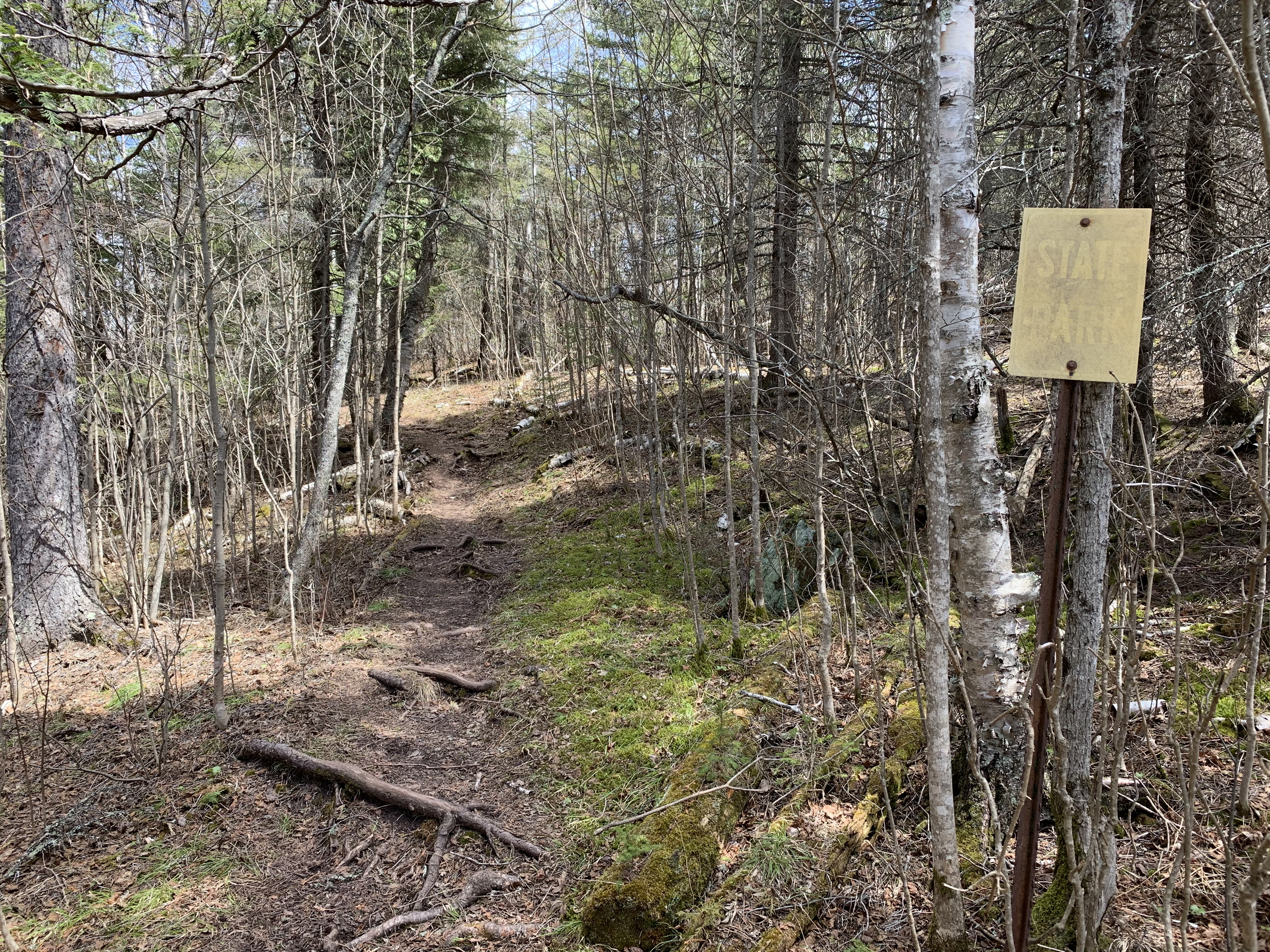
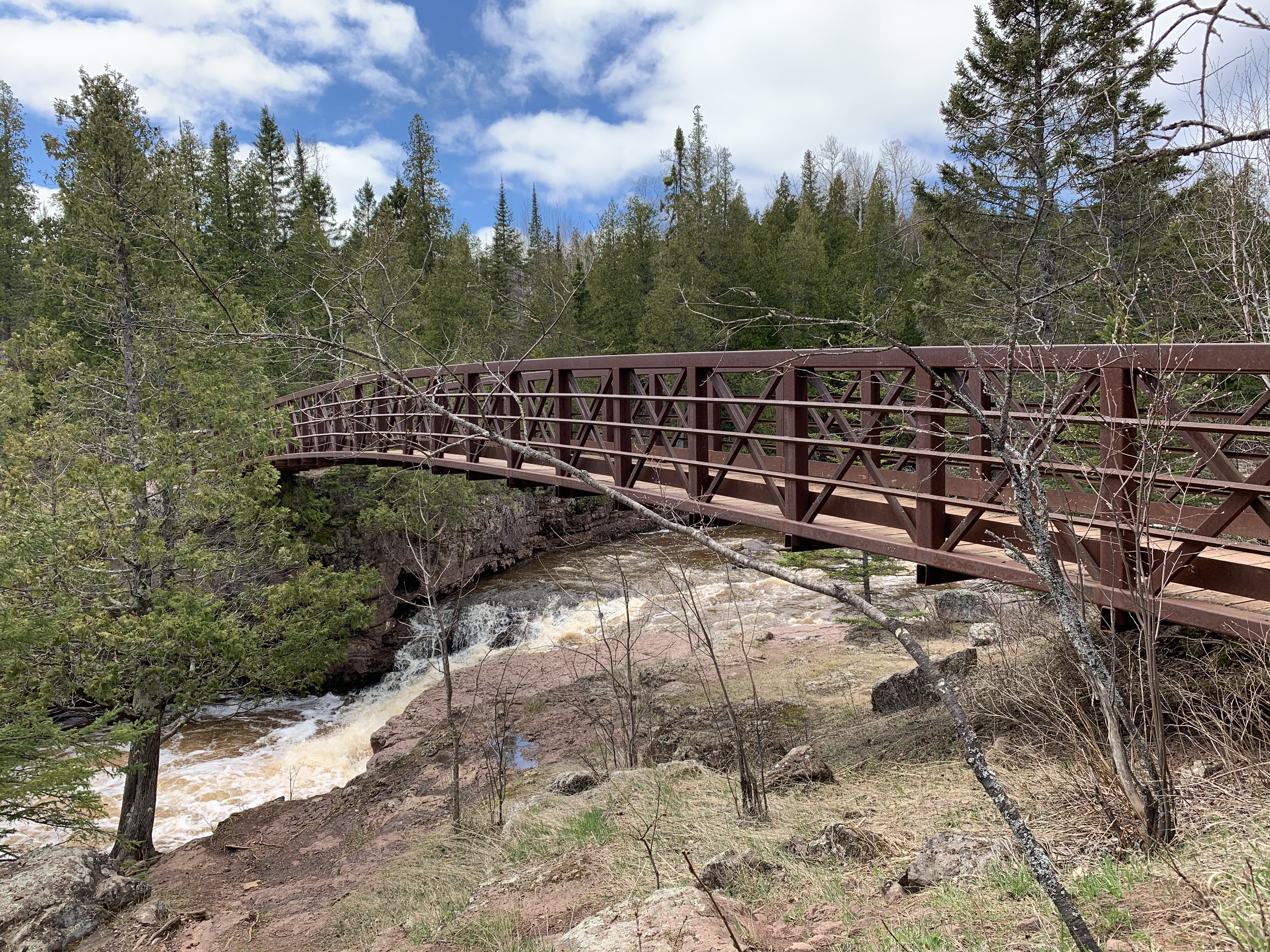
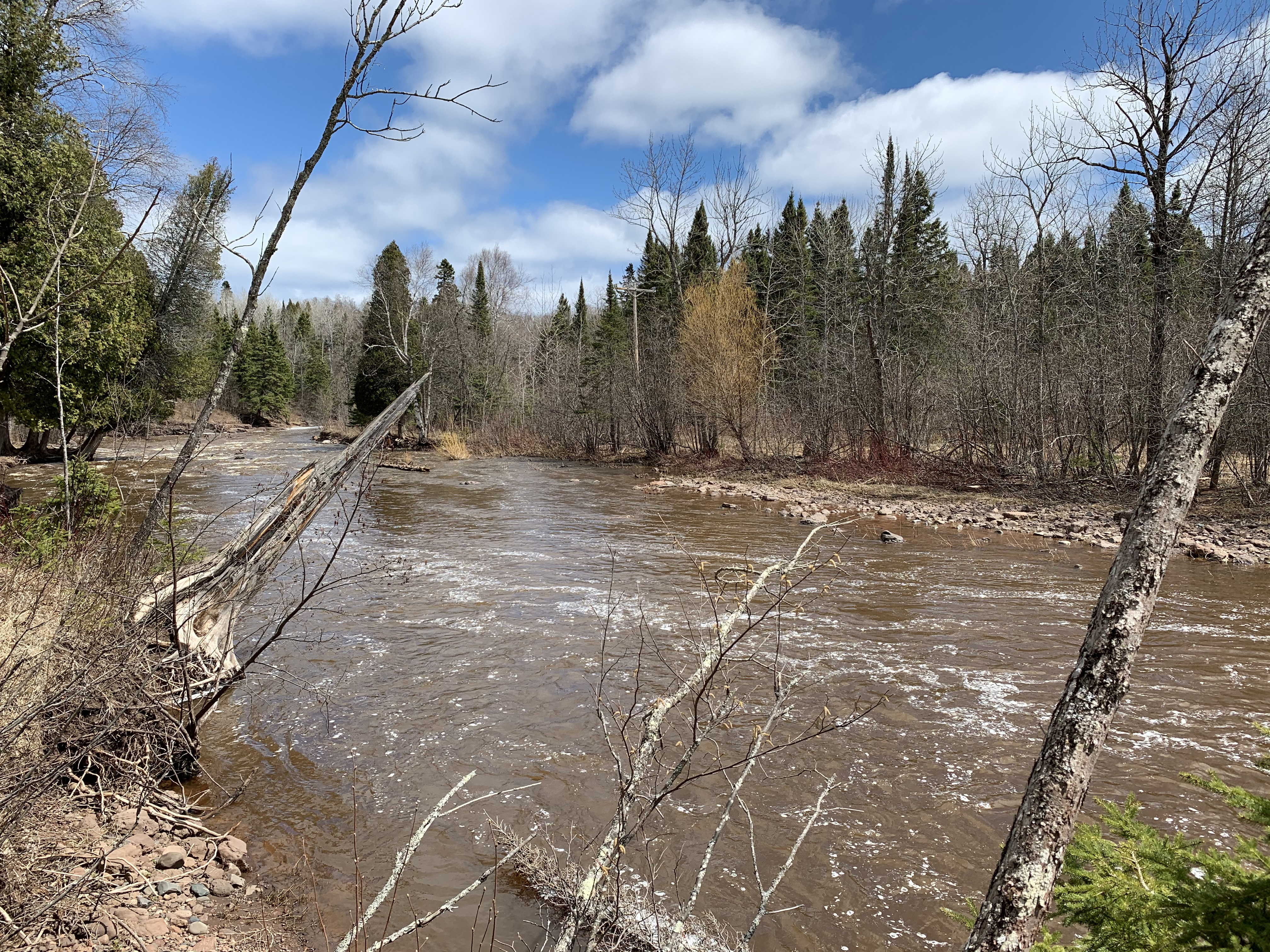
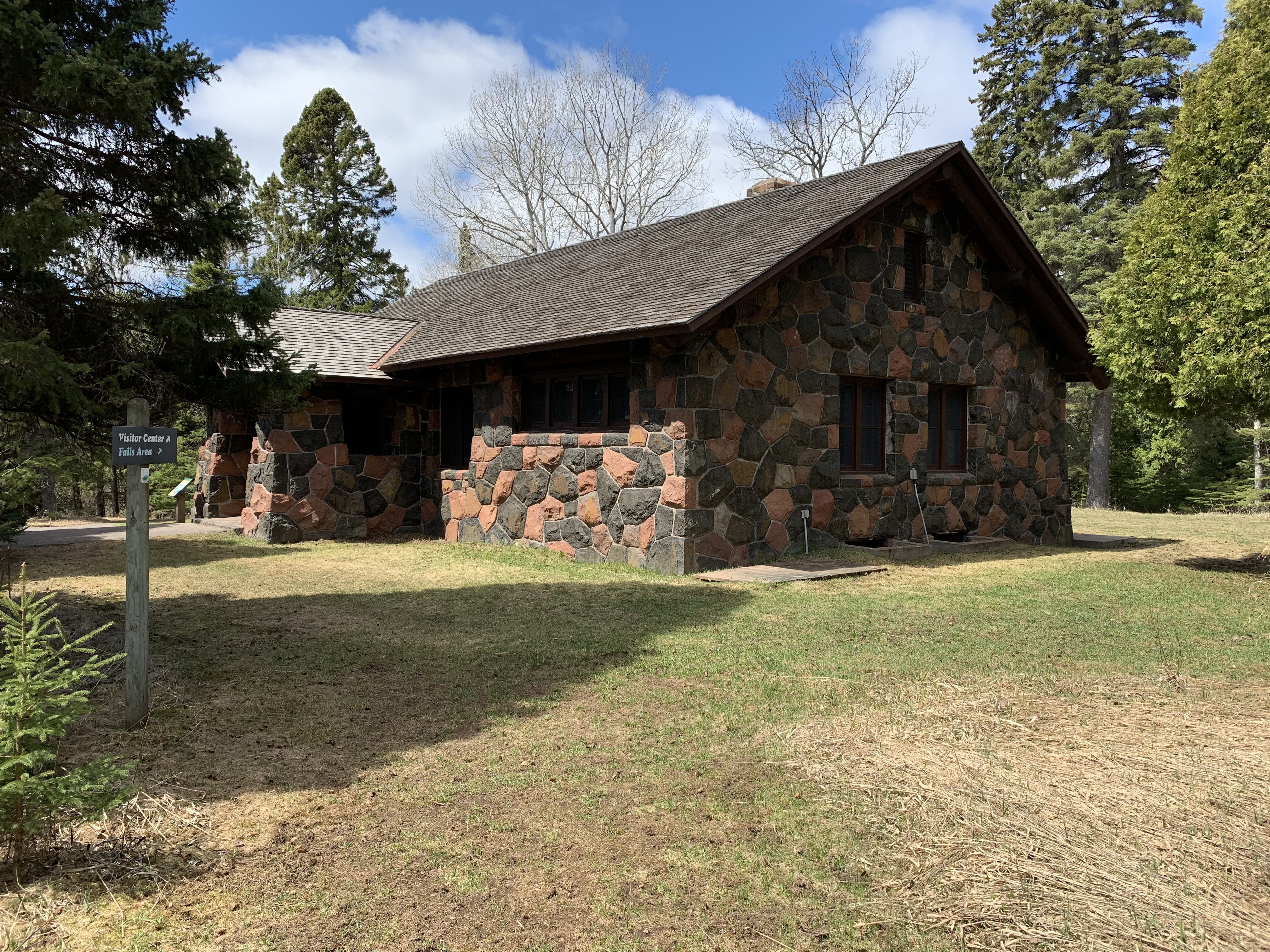
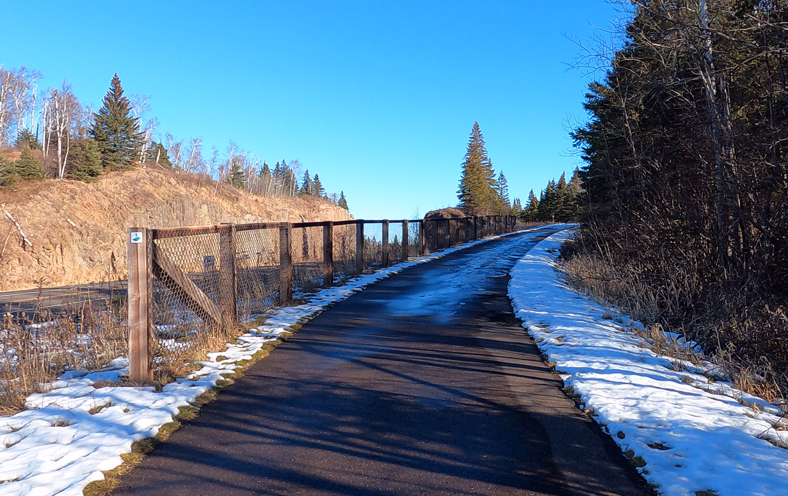
Mile 1.1 (section) Mile 104.3 (SHT): Start of the spur trail to the Crow Creek Valley overlook.

Start of the Crow Creek Valley Overlook spur trail.

Mile 1.3 (section) Mile 104.5 (SHT): Crow Valley Campsite.

Crow Valley Campsite.

Mile 2.9 (section) Mile 106.1 (SHT): Mike's Rock.

Location of Mike's Rock.

Mile 4.7 (section) Mile 107.7 (SHT): West Gooseberry Campsite.

West Gooseberry Campsite.

Mile 4.8 (section) Mile 107.8 (SHT): Sharp Bend in the River.

U-shaped bend on the Gooseberry River.

Mile 4.8 (section) Mile 107.8 (SHT): Beaver Dam.

Beaver dam along the Gooseberry River.

Mile 5.2 (section) Mile 108.2 (SHT): Gooseberry River.

Looking upstream at the Gooseberry River during the spring.

Mile 5.6 (section) Mile 108.6 (SHT): East Gooseberry Campsite.

Entrance trail to the East Gooseberry campsite.

Mile 5.7 (section) Mile 108.7 (SHT): Middle Gooseberry Campsite.

Middle Gooseberry Campsite. It's right on the river.

Mile 6.1 (section) Mile 109.1 (SHT): Gooseberry Campsite.

Arriving at the Gooseberry Campsite. This is a large, multi-group site near the river.

Mile 7.7 (section) Mile 110.7 (SHT): Gooseberry Falls State Park.

Crossing the official boundary into Gooseberry State Park.

Mile 8.0 (section) Mile 111.0 (SHT): Bridge over Fifth Falls.

The bridge over Fifth Falls of the Gooseberry River.

Mile 8.3 (section) Mile 111.3 (SHT): Gooseberry River within the State Park.

View downstream of Gooseberry River as it makes its way through Gooseberry Falls State Park.

Mile 8.7 (section) Mile 111.7 (SHT): Old Gooseberry State Park Visitor Center.

Old visitor center built by the Civilian Conservation Corp in Gooseberry Falls State Park.

Mile 8.8 (section) Mile 111.8 (SHT): End of this SHT section.

End of this section, which (as of 2021) ends at this point along the Gitchi-Gami State Trail. This is part of the temporary reroute.

Continue hiking next section of the SHT: Gooseberry Falls State Park to Split Rock River Wayside TH


Disclaimer Privacy Policy Contact Us About Us
- www.MidwestTrails.com - All Rights Reserved. All images, videos and text property of MidwestTrails.com - No reuse without permission.