 |
|
|||||||||||||
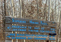
Superior Hiking Trail - Wild Valley Road to Jay Cooke SP Visitor CenterDescriptionThe first half mile or so is a road walk until you reach the south border of the park. Trail is relatively rugged where it routes through the southern part of Jay Cooke State Park. The hiking becomes easier once the SHT starts following established state park trails. Some spectacular views of the St. Louis River. Trail ConnectionsSuperior Hiking Trail - MN/WI Border to Wild Valley Road Trailhead Trail Access/ParkingWild Valley Road. The trailhead parking lot is about 1,800 feet up Wild Valley Road (aka Mountain Goat Road) from Minnesota Highway 23. Wild Valley Road is hilly and has a gravel surface. Restrooms/Water AvailableJay Cooke State Park (near the Visitor Center). Also possible to filter water from Silver Creek and the St. Louis River (difficult). Campsites in this Section: ThreeIt is possible to reserve campsites in the state park in advance. There is a fee. These three sites are all fairly close to the Superior Hiking Trail. Scenic Overlook Spur Trails in this SectionSpur Trail to Jay Cooke State Park Overlook - View toward the north from ridgeline in the southern part of the park. Realtime Section Video (hiked south to north)
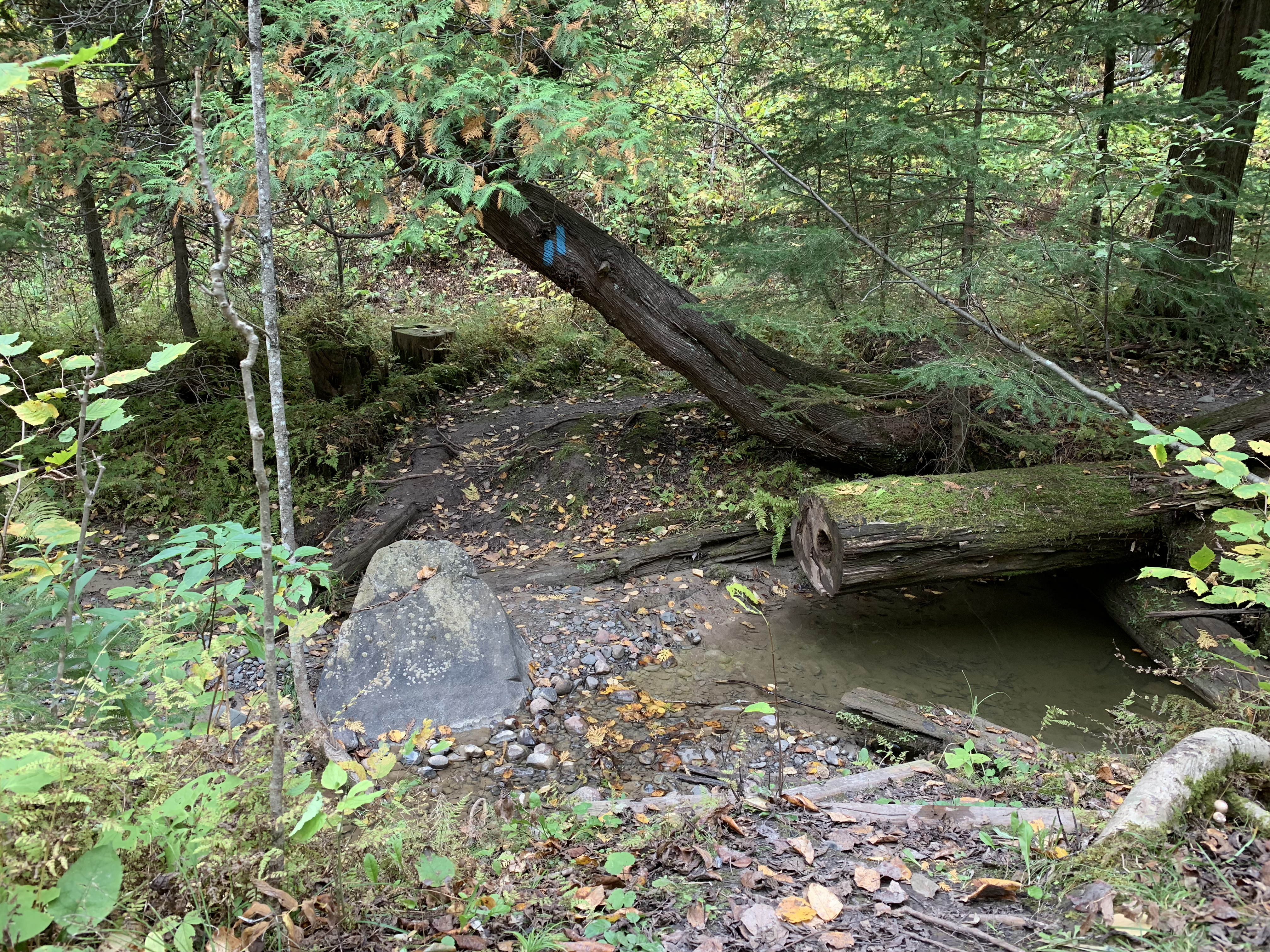
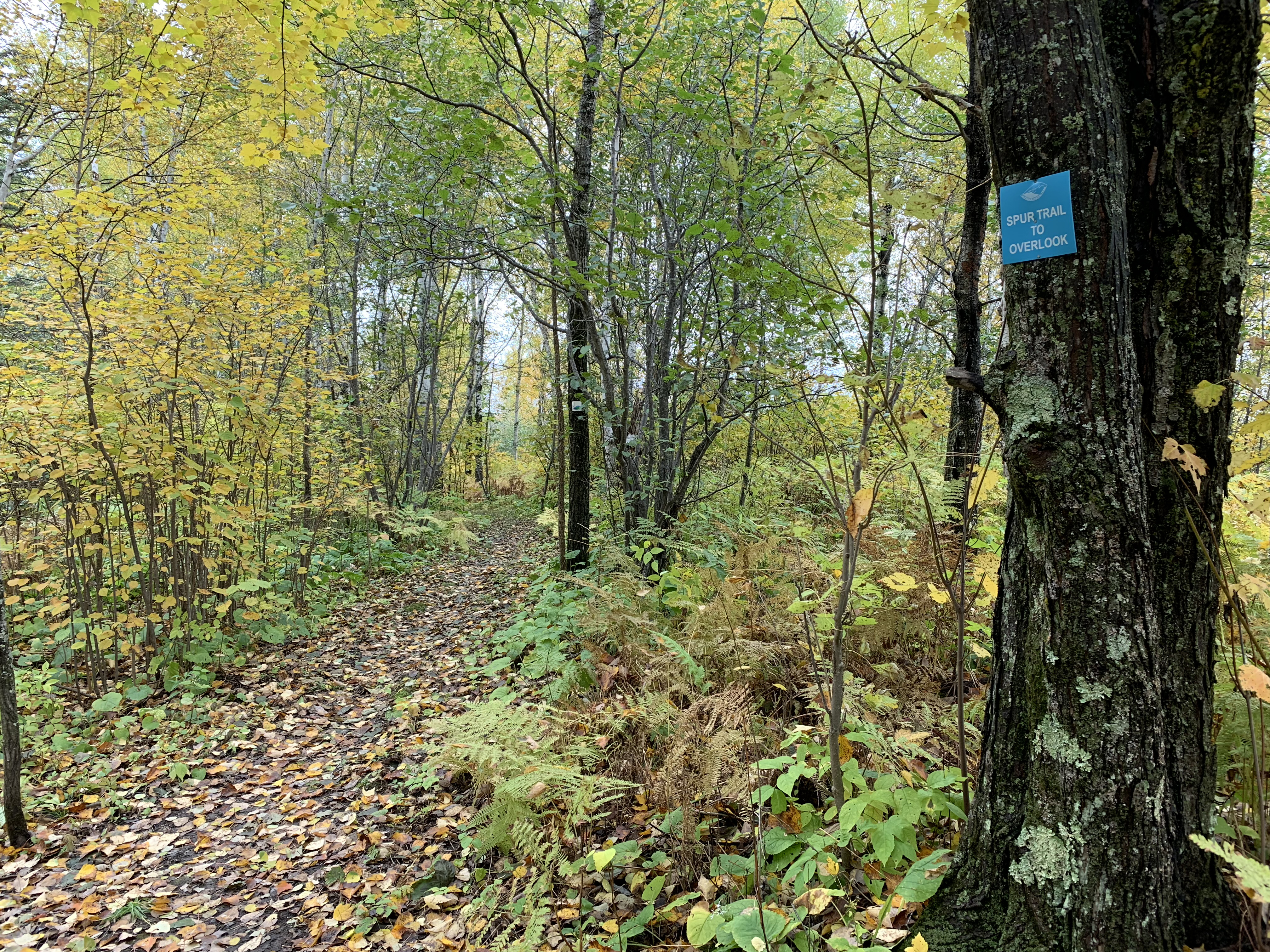
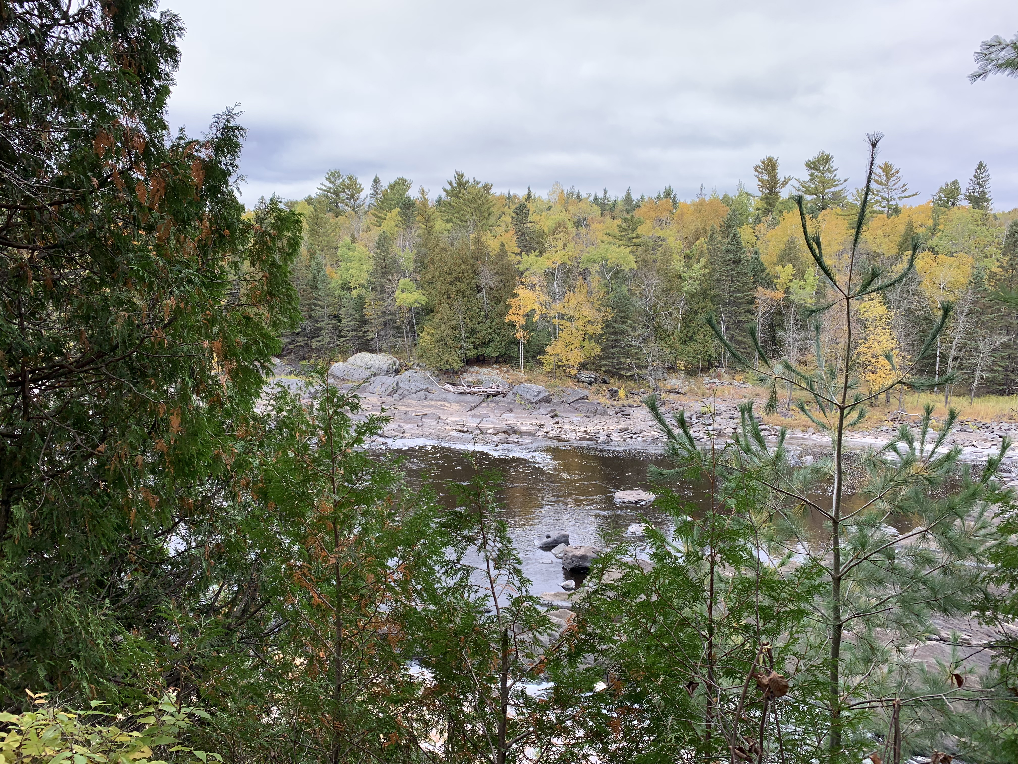
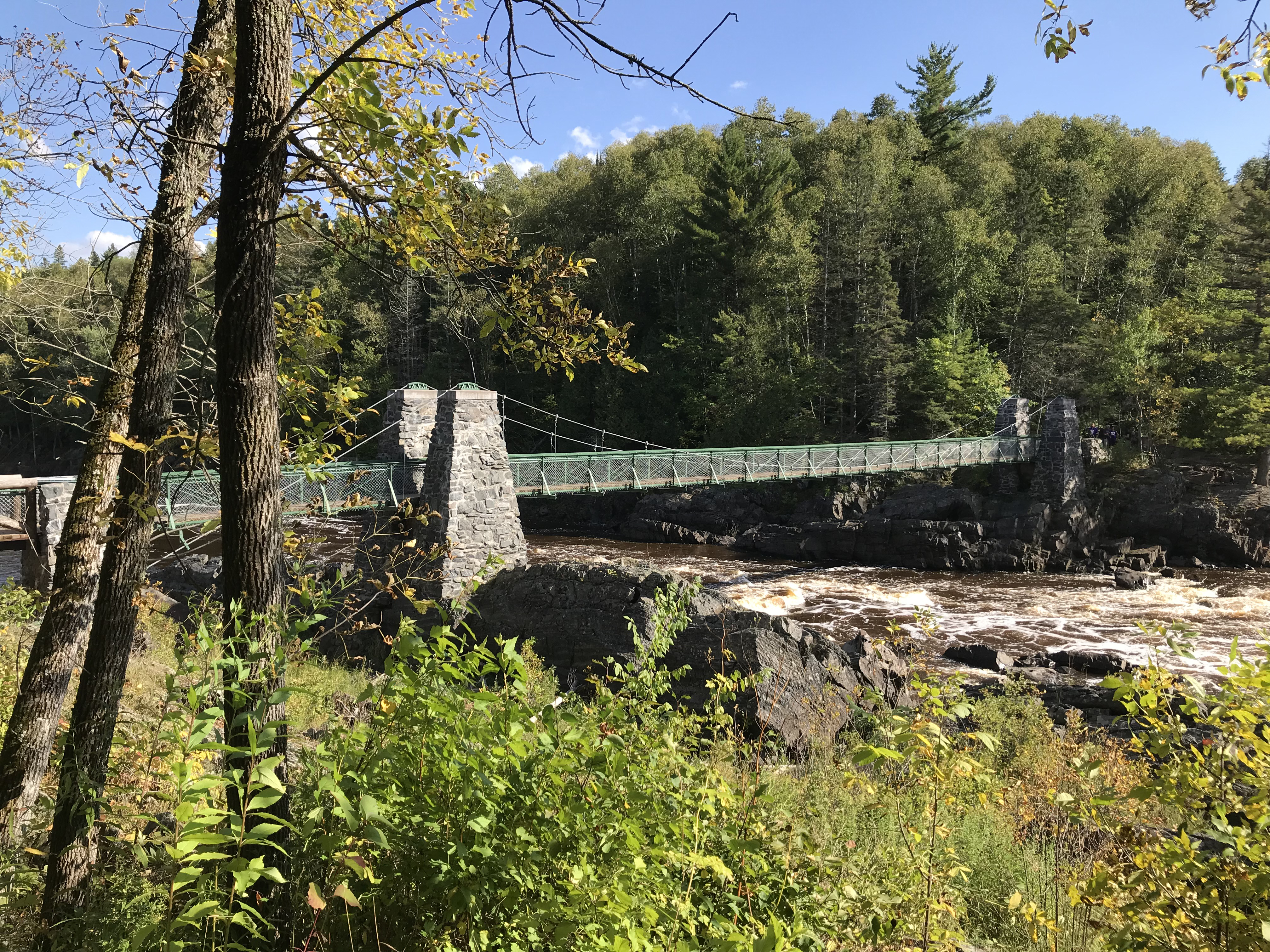
This Section - Mile by MileClick on the photos below to see the full resolution image - Use your browsers back button to close photo and return to this page. Mile 0.0 (section) (1.9 SHT): Wild Valley Road Trailhead Mile 0.1 (section) (2.0 SHT): Wild Valley Road View Mile 1.4 (section) (3.3 SHT): View along SHT in south part of Jay Cooke State Park Mile 2.0 (section) (3.9 SHT): Unnamed creek crossing. Mile 2.5 (section) (4.4 SHT): Spur Trail to Overlook of Jay Cooke State Park. Mile 2.7 (section) (4.6 SHT): Intersection with Bear Chase Trails at Point 41. Mile 3.6 (section) (5.5 SHT): Silver Creek crossing. Mile 3.6 (section) (5.5 SHT): Silver Creek. Mile 4.4 (section) (6.3 SHT): View of St. Louis River from the Silver Creek Trail in Jay Cooke State Park. Mile 5.8 (section) (7.7 SHT): Swing Bridge over the St. Louis River in Jay Cooke State Park.
Mile 5.8 (section) (7.7 SHT): Another view of the Swing Bridge.
Continue hiking next section of the SHT: Jay Cooke State Park Visitor Center to the Grand Portage TH |
||||||||||||||